Réservez des voyages exclusifs à Baydon

Hôtels à Baydon

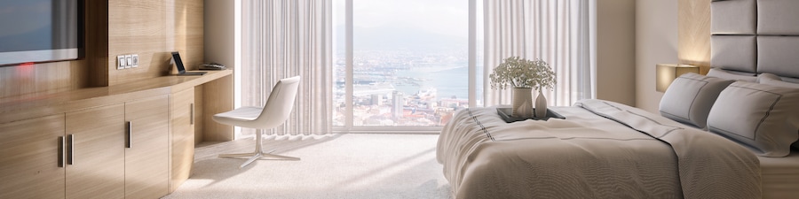
De Vere Cotswold Water Park
Lake 6 Spine Road East Cirencester England
Annulation sans frais
Réservez maintenant, payez lors de votre séjour
Le prix est de 122 $ CA par nuit
122 $ CA
147 $ CA au total
Du 31 mai au 1 juin
(taxes et frais compris)
Hôtel vous offre une station santé complète, un restaurant et un centre d’entraînement. Vous partez en voyage d'affaires? Ici, vous profiterez d'du centre d'affaires et du Wi-Fi dans les aires communes. L'établissement dispose d'piscine intérieure et d'un stationnement libre-service gratuit.
Piscine
Spa
Mollie's Oxford
Mollie’s Oxfordshire Faringdon England
Le prix est de 118 $ CA par nuit
118 $ CA
142 $ CA au total
Du 31 mai au 1 juin
(taxes et frais compris)
Hôtel offre un restaurant et un bar-salon. Finis les suppléments : le Wi-Fi et le stationnement libre-service sont gratuits! On trouve également sur place un jardin, un casse-croûte/une charcuterie et un service d’arrivée express.
Stationnement compris
Wi-Fi inclus

Village Hotel Swindon
Shaw Ridge Leisure Park Swindon England
Annulation sans frais
Réservez maintenant, payez lors de votre séjour
Le prix est de 86 $ CA par nuit
86 $ CA
103 $ CA au total
Du 31 mai au 1 juin
(taxes et frais compris)
Cet hôtel est doté d'un bar-salon et d'un restaurant. L'établissement offre également piscine intérieure. Vous partez en voyage d'affaires? Ici, vous profiterez d'du centre d'affaires et du Wi-Fi dans les aires communes. Profitez d'un centre d’entraînement physique ainsi que de la réception ouverte en tout temps et des services pour noces.
Piscine
Baignoire à remous
Delta Hotels by Marriott Swindon
Pipers Way Swindon England
Annulation sans frais
Réservez maintenant, payez lors de votre séjour
Le prix est de 102 $ CA par nuit
102 $ CA
123 $ CA au total
Du 22 mai au 23 mai
(taxes et frais compris)
Hôtel non-fumeurs vous propose une station santé complète, un centre d’entraînement physique (jour et nuit) et un restaurant. Vous partez en voyage d'affaires? Ici, vous profiterez d'du centre d'affaires et du Wi-Fi dans les aires communes. Profitez de la piscine intérieure ainsi que du bar-salon et des services de conciergerie.
Piscine
Spa

Leonardo Hotel Swindon
Fleming Way Swindon England
Annulation sans frais
Réservez maintenant, payez lors de votre séjour
Le prix est de 82 $ CA par nuit
82 $ CA
99 $ CA au total
Du 31 mai au 1 juin
(taxes et frais compris)
Hôtel offre un restaurant et un bar-salon. Vous partez en voyage d'affaires? Ici, vous profiterez d'du centre d’affaires ouvert en tout temps et du Wi-Fi dans les aires communes. L'établissement offre un stationnement libre-service payant, un casse-croûte/café et un casse-croûte/une charcuterie.
Wi-Fi inclus
Restaurant

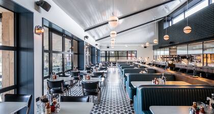
Wild Thyme & Honey
Ampney Crucis Cirencester England
Annulation sans frais
Réservez maintenant, payez lors de votre séjour
Le prix est de 220 $ CA par nuit
220 $ CA
264 $ CA au total
Du 18 mai au 19 mai
(taxes et frais compris)
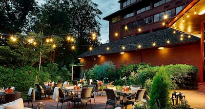
Hôtel offre un restaurant et un bar-salon. Les voyageurs d'affaires apprécieront certainement le Wi-Fi (gratuit). L'établissement offre un stationnement libre-service gratuit, une terrasse et un jardin.
Animaux de compagnie acceptés
Stationnement compris
Vous ne trouvez pas ce que vous cherchez?
Consultez tous les hébergements disponibles pour cette destination : Baydon.
Afficher tous les hébergementsIl s’agit du prix par nuit le plus bas trouvé au cours des 24 dernières heures pour un séjour d’une nuit pour deux adultes. Les prix et la disponibilité peuvent changer. Des conditions supplémentaires peuvent s’appliquer.
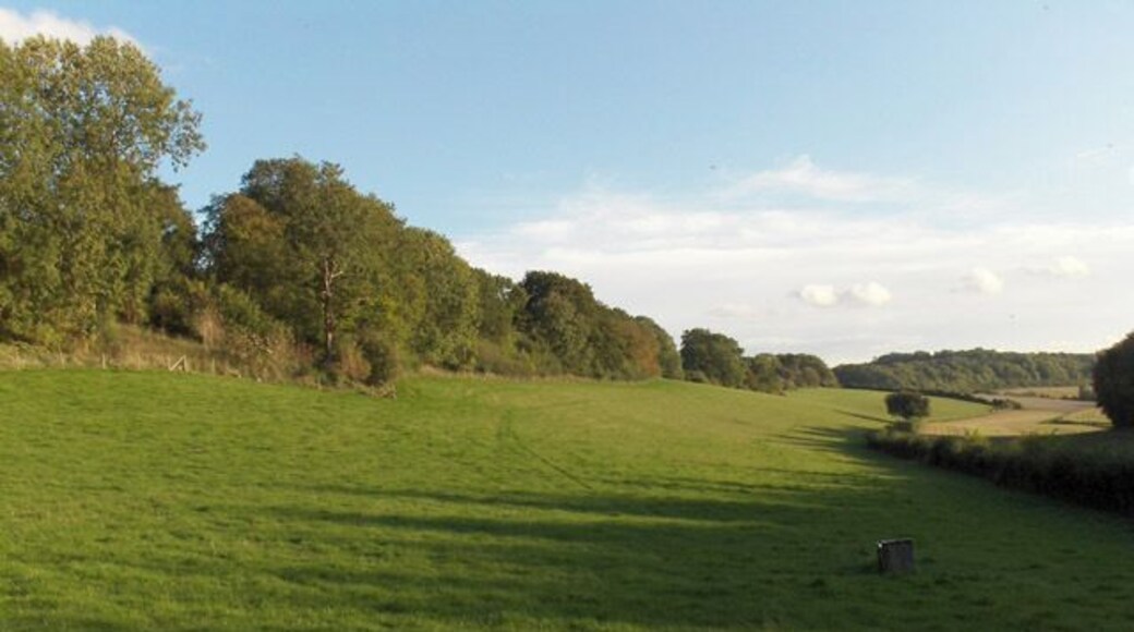
Endroits populaires à visiter

West Kennet Long Barrow
Vous pourrez en apprendre davantage sur Avebury lors d'une visite à West Kennet Long Barrow. Visitez les bars animés ou les excellents restaurants de cette région tranquille.
Monument d'Avebury
Après avoir visité Monument d'Avebury, planifiez votre visite d'autres monuments et activités de Avebury. Visitez les excellents restaurants ou les bars animés de cette région pittoresque.
Manoir d'Avebury
Vous pourrez en apprendre davantage sur Avebury lors d'un arrêt à Manoir d'Avebury. Visitez les bars animés ou les excellents restaurants de cette région pittoresque.
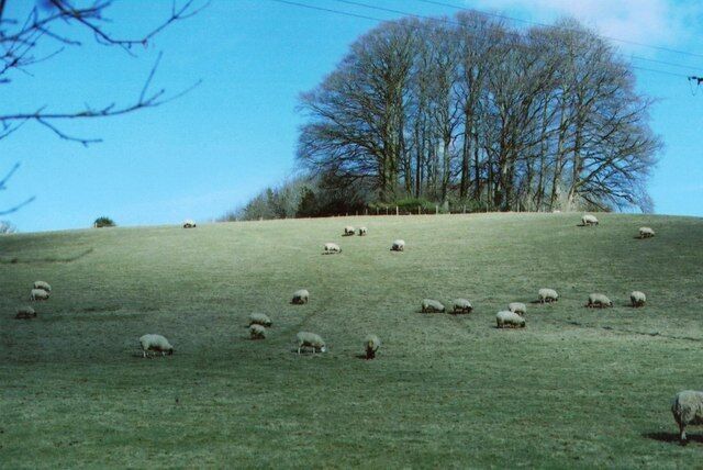
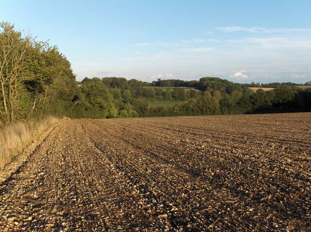
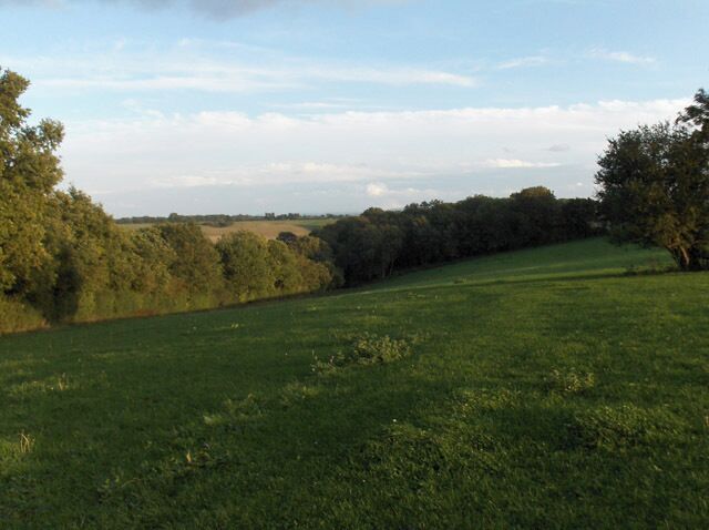
Photos des trésors locaux
Explorez les photos de Baydon et laissez-vous inspirer pour vos prochaines vacances


