Book Exclusive Cleator Moor Vacation Packages

Top Cleator Moor hotels deals

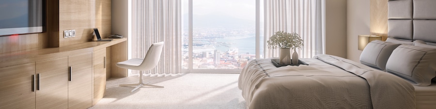
Keswick Country House Hotel

Lake District Castle Inn hotel & Spa

Rothay Garden by Harbour Hotels

Seacote Hotel
The Kellbank
Mary Mount Hotel
Popular places to visit
Cleator Moor Library
Cleator Moor Library is just one of the places to see in Cleator Moor, so why not enjoy the other things to explore during your travels?
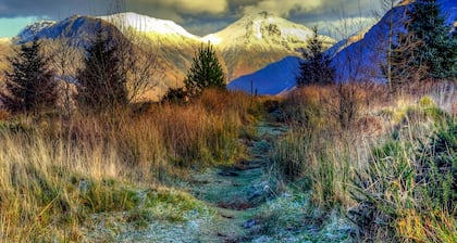
Keekle Community Park
Explore the great outdoors at Keekle Community Park, a lovely green space in Weddicar.
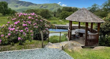
Bighill Community Park
Explore the great outdoors at Bighill Community Park, a lovely green space in Cleator Moor.
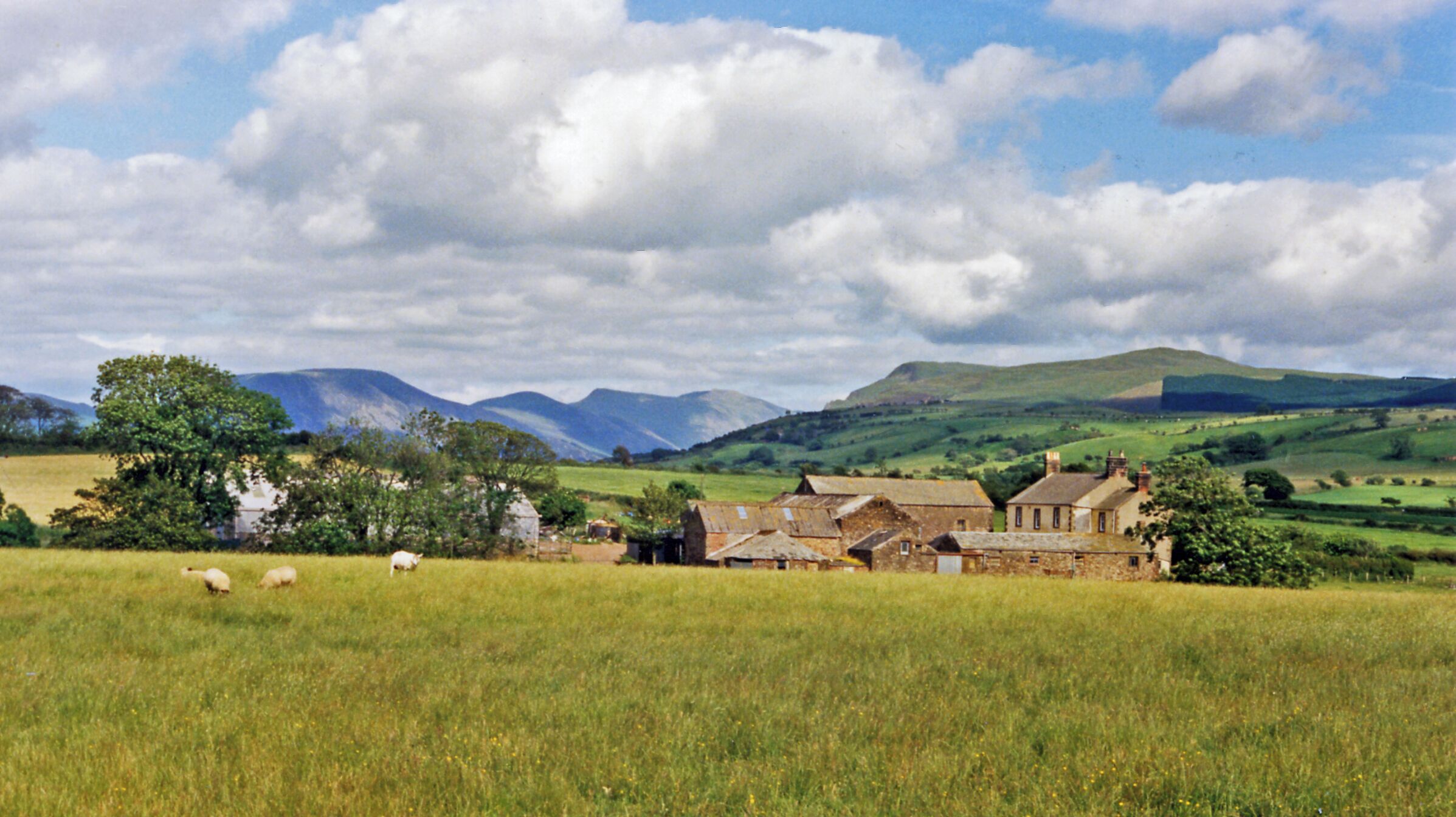
Cleator Moor Vacations
We get it, geography isn't everyone's specialty. If you're unsure where Cleator Moor is, don't forget to acquaint yourself with its location before you jet off!
Cleator Moor can be found 3 miles (5 kilometers) east of Whitehaven. It is also 3 miles (5 kilometers) north of Egremont.
There are 7,000 locals that live in this part of Cumbria.
Hotels in Cleator Moor
Be the early bird that gets the worm when it comes to booking your Cleator Moor accommodations. With 5 places to stay, your options are limited. Start checking them out and lock in the best room today!Searching for somewhere to stay in Cleator Moor? The Ennerdale Country House Hotel and Parkside Hotel are our top properties in the region.
Places to visit in Cleator Moor
It's often said that knowledge is power. With that in mind, you're sure to feel a bit more powerful by the time you leave The Beacon. Need some more options? Drink in the clean air and marvel at the squawking birds flying through the sky at St. Bees Beach. Spending a day by the ocean can be wonderfully relaxing. And there's more. Drink in the enticing fragrances at The Rum Story as you watch the experts concoct their delectable liquors.Where do you fly into for Cleator Moor?
Get ready for some amazing new experiences in Cleator Moor. Once you've left Walney Island Airport (BWF), the central area will be only 30 miles (48 kilometers) away.Frequently asked questions
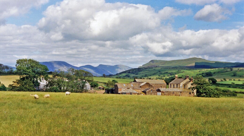
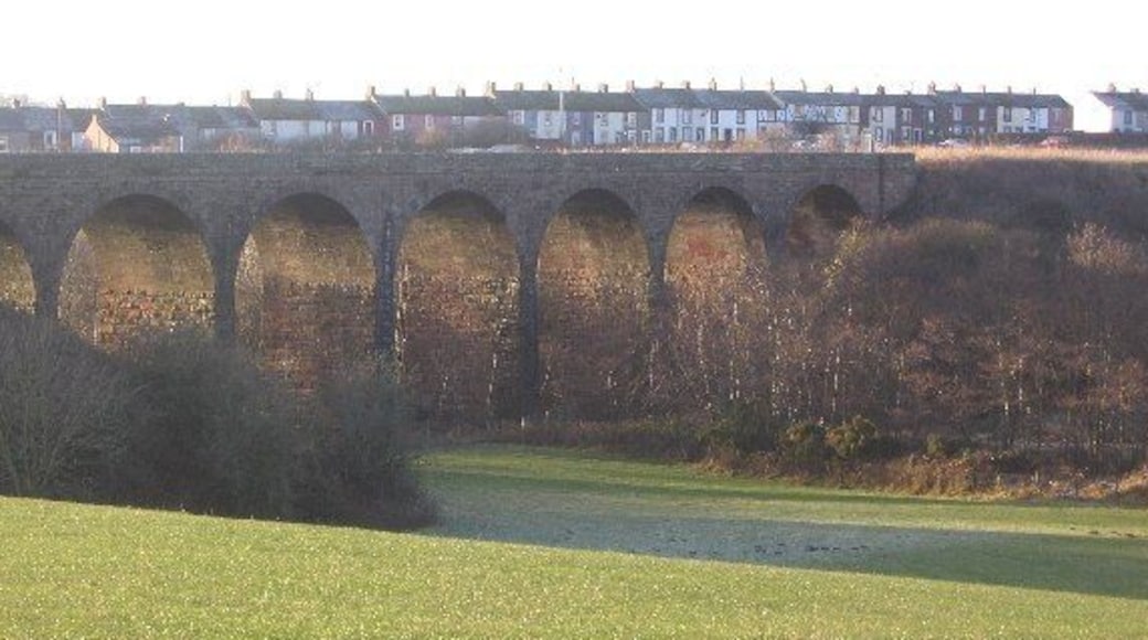
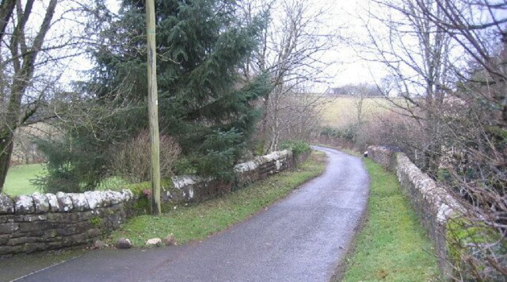
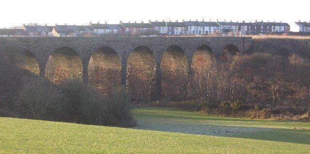
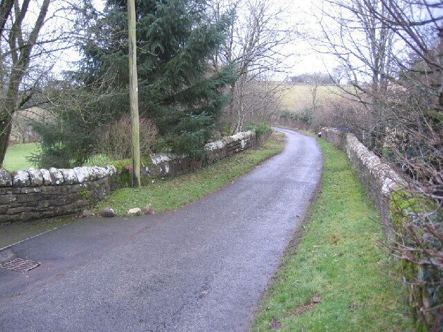
Photos of local treasures
Browse Cleator Moor vacation photos for more inspiration
